Dynamic spatial data has the power to change the way we view and analyze information forever positively. Mapping and analytics software packages data sets into easy-to-understand groups that provide strategic insights into how you can better allocate your tribal government’s resources.
With so many digital processes already being used in business today, it’s vital your decisions can now come from an informed and customized place that addresses your direct needs as a government. Geographic information systems (GIS) software buckets vital information and gives you all the tools you need to layer spatial data together in order to make important decisions for your people.
What is GIS Mapping?
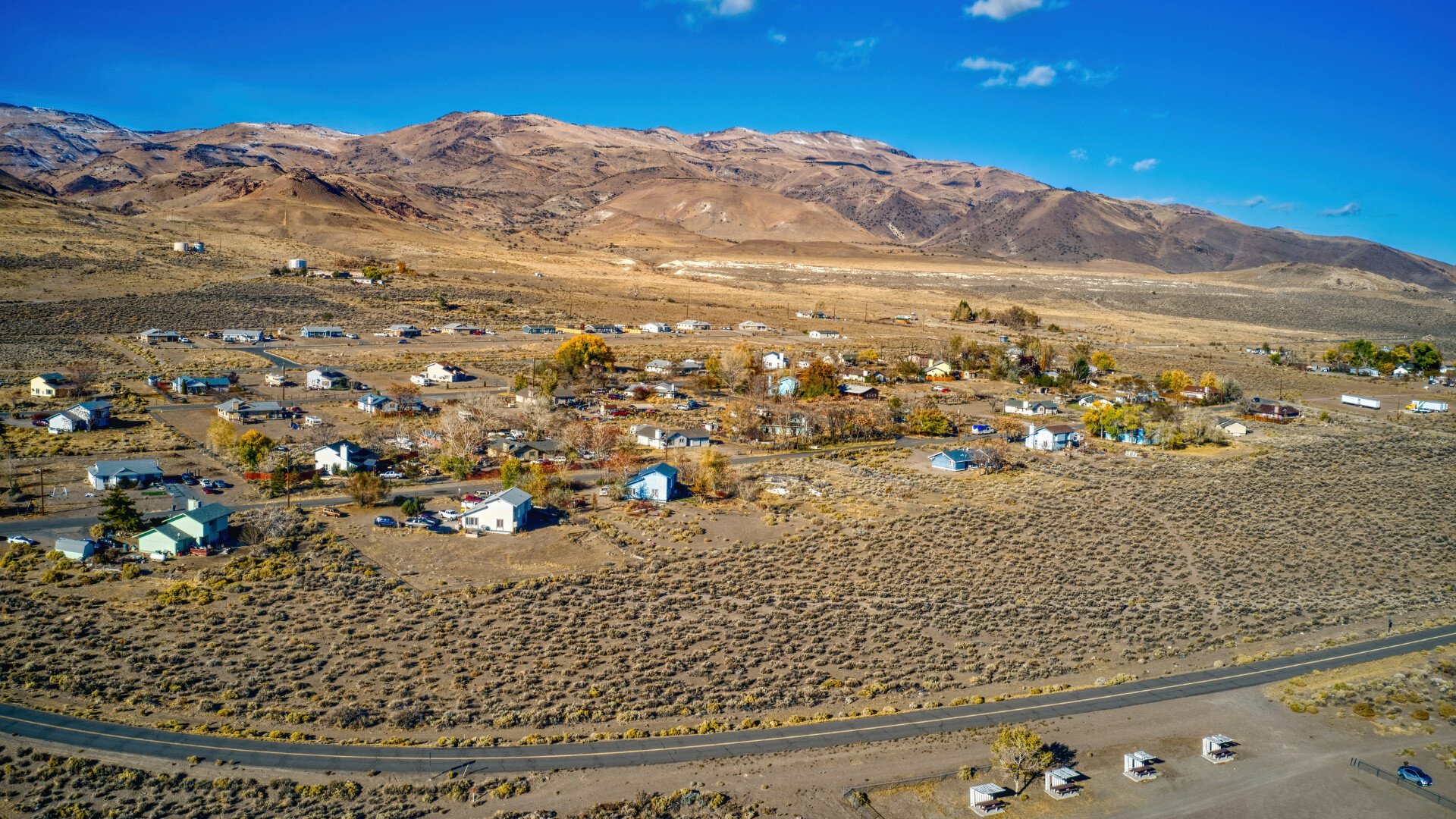
GIS mapping is a software that layers data from geographical points in order to solve common, everyday problems. This lets you view data points dynamically and identify patterns on a map that may otherwise be difficult to see when listed on a spreadsheet, for example. This type of technology has many uses in government, from the public sector, to patterns for infrastructure maintenance, public transportation, foot traffic, and allocating medical resources to the right areas and hospitals.

How GIS Mapping Works
The meat of what makes GIS mapping so effective is the geospatial data (a latitude and longitudinal point tying it to an exact spot) that’s gathered. Using different tools such as visual information around topography and geocoded maps similar to how GPS works, geospatial data can be compiled for additional context and understanding into an area or problem.
By having a geofence in an area, you can also detect consumer behavior of those who opt in from their smartphones – including the time they’re in an area, any locational patterns, spending habits, and demographics, you can layer this with what businesses or services may be in higher demand at what time of year as a given instance.
Benefits from GIS Mapping and Analytics Software
- Increasing efficiency through public transportation routes
- Budgeting for more medical supplies during busier seasons of disease
- Monitoring crime rates and locations for better safety and support
- Boosting access to community services based on need and consumer behavior
- Road maintenance and safety
- Detecting commercial real estate developments
The above list, of course, is not exhaustive – with enough mapping data, you can position your tribal government in a very effective way to have visibility into what reality is versus what improvements you’d like to make.
Mapping Out Your Strategy for Today and the Future
Having visibility into your processes, people, and technology are all drivers of digital transformation. With mapping and analytics software such as GIS, you are positioned to make positive, informed decisions in your tribal government for all involved. It’s effective in layering everything you need with nothing extraneous or not useful to your ultimate goals.
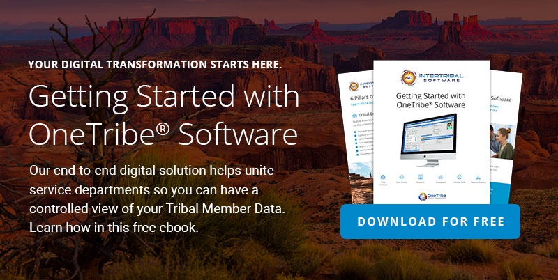
To find out how you can best utilize this type of technology, check out our OneTribe™ software, which works as a strategic element in combination with mapping software in your tech stack.