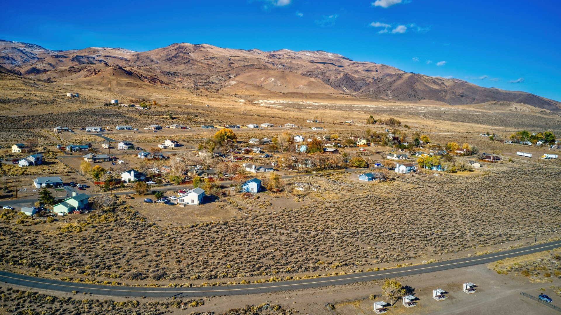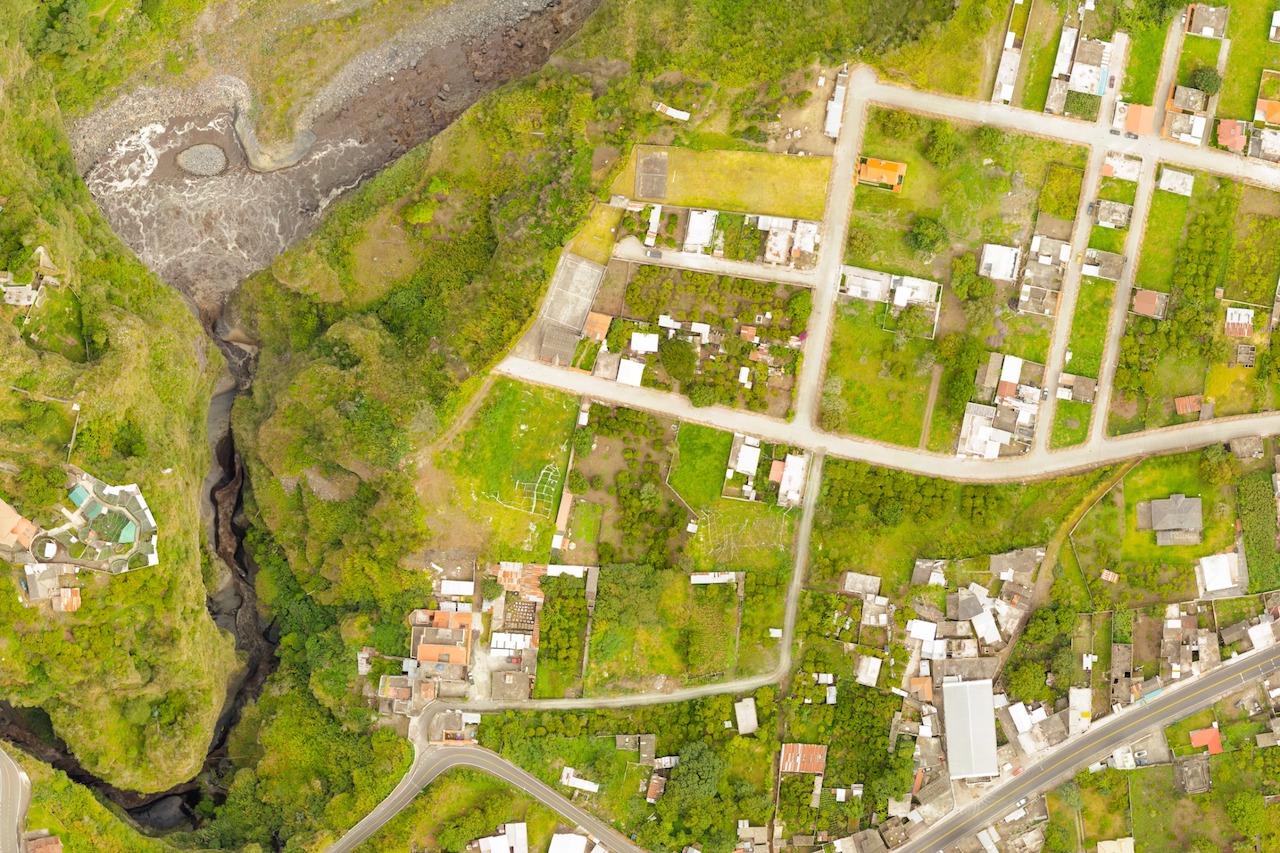
To know where to go, like any map, you need to know where you currently are. By combining cartography, aerial photos, digital data, and other spreadsheet information, scientists and officials from all different backgrounds can use the information generated from a geographical information system, or GIS Mapping, to provide insights and make well-informed decisions.
Why is this useful, you may be asking? With the right analysts to layer different data points, you can recognize patterns and more effectively assess all the implications around a decision for transportation or a new building construction on the environment, for example.
Let’s get into greater detail around how this helps public service and government entities function more efficiently in a non-technical way:

So What Is GIS Mapping?
GIS Mapping, according to National Geographic, is defined as a computer system for gathering and presenting data gathered from positions on the earth’s surface. GIS mapping helps everyday people get a better grasp on the relationship between spatial data and people. This is related to the positioning on the earth’s surface.
The best part? Data points can be layered from aerial photos visually or in a spreadsheet format to help make key decisions around roads, buildings, vegetation, pollution risk, and elevation when combined with demographics and other key data.
Why Is GIS Mapping Important?
From National Geographic to scientists in Antarctica, GIS Mapping is a valuable tool that many use to calculate and layer data to form patterns. For instance, if you wanted to understand the relationship between a group of people in Austin, Texas and how close the population lived to city bus stops, GIS Mapping would be a helpful method to layer these data points on top of each other to reveal that information visually so it’s easy to digest.
Additionally, GIS mapping does a remarkable job to:
- Mitigate risk by identifying patterns
- Analyze trends
- Anticipate environmental changes
- Identify demographic information
- Display geospatial data in an easily accessible way
- Recognize anomalies in areas
- Compute statistics
Think of it like a software that lays out a 3D map of the world – but filtered in a way that you can only choose to see roads, or buildings, or demographics, or areas of recurring natural disasters in the area you choose.
For the public service world, preparing for safety and ongoing success of your community cannot be understated, and GIS Mapping gives many easy-to-use ways to process and use data in an actionable way to make strategic decisions, including for emergency medical services (EMS) and disaster preparedness.
Easy To Use and Implement
One of the best parts about answering “What is GIS Mapping?” is the data is easily viewable on mobile, tablet, and laptop computers – making it viable to use for businesses of all sizes. Having the green light to access important borders, agriculture spaces, and demographics has the power to shape your decision making into something far more intentional and accurate than it was before. GIS Mapping’s visualization piece provides the story; all you need are people to see it and take action on what’s needed to do next. Spatial data is powerful and increasingly effective for most industries, including public service.
If you’re interested in learning more about GIS Mapping and how it’s configured and processed, consider getting started with OneTribe™ Software, which combines information from spatial data to guide your decision making.